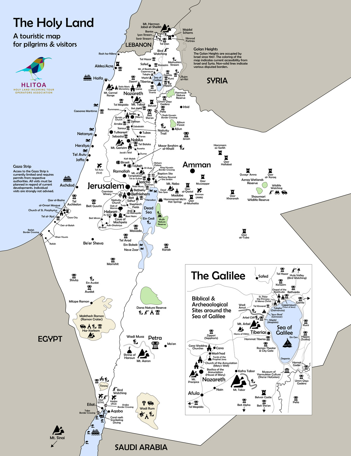
HLITOA developed a map of the wider Holy Land showcasing the whole region (Palestine, Israel, Jordan) as one travel destination and to encourage travel professionals and travelers to consider expanding current offers with longer and more diverse programs even across borders.
Purpose of the Map
Our map is not a political map, nor does it indicate the road network or gives a full coverage of all cities etc. It is a purely touristic map featuring the Holy Land’s key sites and attractions with an emphasis on mentioning places and sites beyond the usual classic pilgrimage stops.
Supporting Your Business
You may use the map for your own business purposes. If you need special dimensions or a high-resolution version for printing purposes please let us know and well will provide you with it.

Download our map for free in high resolution:
HLITOA Map of the Holy Land (3531x4594px @ 300dpi, 3,41 MB, jpg)
HLITOA Map of the Holy Land (7063x9189px @600dpi, 9,88 MB, jpg)
HLITOA Map of the Holy Land (high resolution pdf, 7,42 MB)
